
What Is Surveying Equipment Calibration
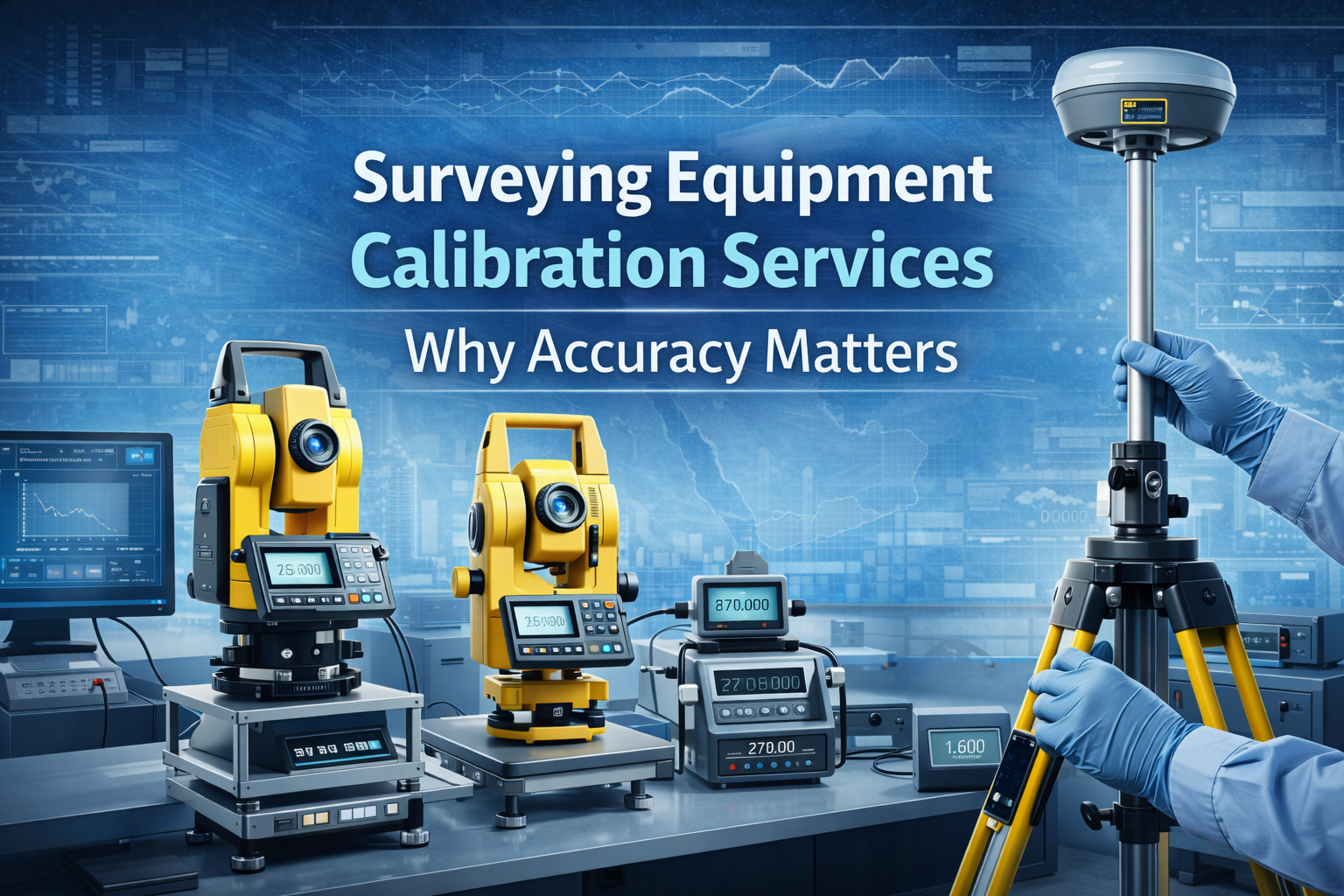
Surveying equipment calibration verifies instruments against certified standards to remove measurement drift. Core devices that need calibration include:
- Total stations: Angle and distance verification for layout accuracy.
- GPS: GNSS rover and base checks to ensure coordinate reliability.
- Laser systems: Line and rotary laser leveling for slab and grade control.
Consequences of Poor Surveying Accuracy
- Misalignment: Off-spec grids lead to clashes in steel, MEP, and façades.
- Cost overruns: Rework and schedule slips drive up budgets.
- Structural issues: Incorrect elevations affect load paths and finishes.
Calibration Standards Used in the Region
- ISO-based procedures for traceability
- ASTM practices for measurement assurance
- Local regulations set by UAE and KSA authorities and consultants
TriomidTech Calibration Services
- On-site calibration: Minimize downtime by servicing instruments at your project.
- Certified results: Traceable reports for audits and handover.
- Regional coverage: Teams serving UAE, Saudi Arabia, Iraq, and Jordan.
FAQ
Total stations, lasers, and GNSS units should be checked at least every six months and after
impacts
or heavy use.
Yes, authorities and consultants expect certificates that prove instruments meet ISO/ASTM
tolerances
before handover.
Our regional teams calibrate equipment on-site to keep your project moving and deliver certified
reports.