
Surveying Equipment Calibration UAE
TriomidTech provides surveying equipment calibration in UAE for contractors, consultants, site teams, and infrastructure projects. We support total stations, GPS and GNSS systems, construction lasers, receivers, and field measurement tools used in high-accuracy site work.
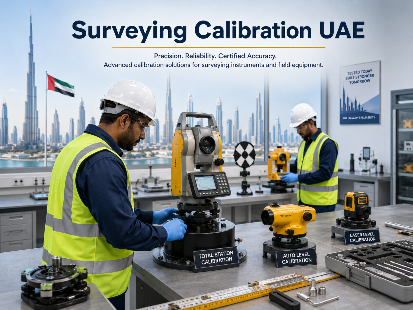
Surveying Instrument Calibration and Site Accuracy Support
Surveying equipment calibration in UAE helps contractors, consultants, and site teams maintain accurate layout, alignment, level control, and measurement records. TriomidTech supports total stations, GPS and GNSS systems, construction lasers, receivers, levels, and field instruments used on roads, buildings, and infrastructure projects.
Calibration and inspection are especially important after heavy site use, transport, impact, long storage, or before critical layout activities. Our team helps customers plan calibration intervals, instrument checks, accessory requirements, firmware or condition reviews, and handover documentation for project teams.
In addition to calibration support, TriomidTech supplies surveying tools and construction laser equipment for field crews that need reliable, practical systems for daily work in UAE site conditions.
Surveying Calibration Applications
- Total station calibration, inspection, and field accuracy checks.
- GPS and GNSS equipment checks for construction and infrastructure teams.
- Construction laser calibration, receiver checks, and alignment support.
- Roads, buildings, utilities, industrial sites, and project handover workflows.
- Instrument condition reports, training coordination, and technical support.
Why Choose TriomidTech for Surveying Calibration?
TriomidTech combines surveying equipment supply with practical calibration and support knowledge. We help site teams reduce downtime, maintain measurement confidence, and return instruments to the field with a clear understanding of condition, accuracy, and support requirements.
Customers can also request related surveying equipment, construction lasers, receivers, and replacement tools when existing instruments are no longer suitable for project accuracy needs.
As a GPS survey equipment supplier Dubai site teams already work with, we also supply construction laser level UAE units and issue a survey equipment calibration certificate UAE consultants can file with project handover documentation.
2026 Trend: GNSS Is the Fastest-Growing Survey Category
GNSS survey equipment UAE demand is rising fast, with GPS/GNSS systems forecast as the single fastest-growing survey equipment category in 2026. Mega-projects requiring high-accuracy GNSS RTK survey UAE setup, including Dubai Creek Harbour, Palm Jebel Ali, the Dubai Metro Blue Line, and multiple RTA road projects, are the main driver behind this growth.
TriomidTech supports total station calibration Dubai teams rely on alongside GNSS receiver checks, so survey data stays traceable and accurate as project pipelines expand across the UAE.
FAQ
Need Surveying Equipment Calibration UAE?
Send your standards, sample type, capacity, and project location. Our technical team will help you choose the right solution.
Request a Quote